Imagine you’re sending a drone on a mission inside a massive power plant, or deep into a forest where GPS signals just… disappear. Most drones would freak out, lose their way, or worse-crash. But not Athera, the brainchild of VECROS developed by the Founders Besta Prem Sai & Rajeshree Deotalu. This drone doesn’t just rely on satellites; it’s got its own smarts to find the way, no matter what.
So, How Does This Tech Actually Help?
Let’s ditch the tech-speak and talk about what Athera’s GPS-denied navigation means in the real world.
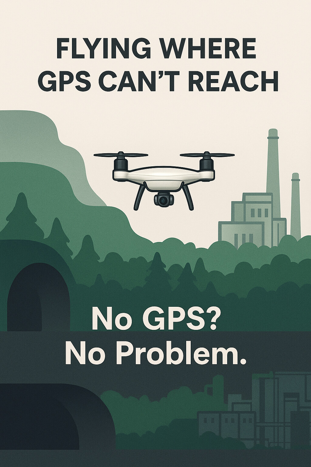
1. Flying Where GPS Just Can’t Reach
Think about places like underground tunnels, dense forests, or inside giant factories. GPS signals are weak or nonexistent there. Athera uses its “eyes” - cameras and sensors - plus some seriously smart AI to build a map of the environment as it flies. It’s like giving the drone a sixth sense. No satellites? No problem.
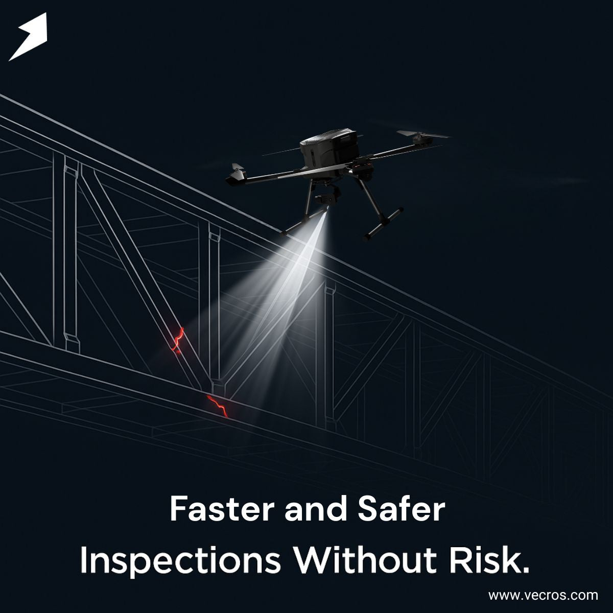
2. Faster, Safer Inspections - No Humans in Danger
Before Athera, inspecting a big bridge or a power plant meant sending in people who had to climb, crawl, or risk their lives. Now, Athera can fly through tight spots, spot cracks or leaks, and send back detailed info. It’s faster, safer, and way less stressful for everyone involved.
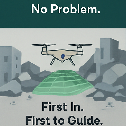
3. Rescue Missions When Every Second Counts
In a disaster-say, after an earthquake or flood-GPS might be down or unreliable. Athera swoops in, flying through rubble or damaged buildings, mapping the area, and helping rescue teams figure out where to go first. It’s like having a fearless scout that never gets lost.
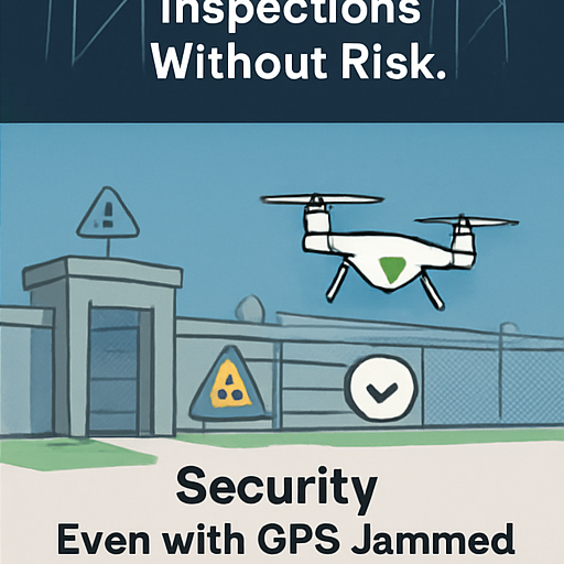
4. Keeping an Eye on Security - Even When GPS is Jammed
Some places are tricky because bad actors might try to jam GPS signals. Athera doesn’t get fooled. It patrols sensitive zones, spots suspicious activity, and keeps things secure without needing satellite help. That’s a game-changer for defense and critical infrastructure.
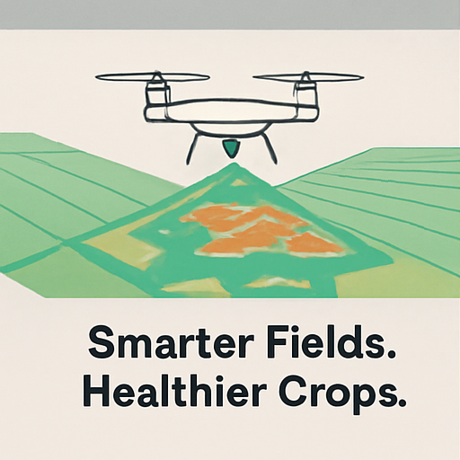
5. Helping Farmers Grow Smarter
Even out in the fields, GPS can be patchy. Athera flies over crops, checks their health, and helps farmers know exactly where water or fertilizer is needed. No guesswork, just smart farming.
Why This Matters
Besta Prem Sai, the Founder of VECROS, once said, “Our drones complete the task in less time at a faster speed. Inaccuracies in data collection are also reduced due to autonomous planning.” What he means is simple: Athera doesn’t just fly-it thinks, adapts, and gets the job done better than ever before.
The Bottom Line
Athera’s GPS-denied navigation isn’t just some fancy tech buzzword. It’s a drone that can go where others can’t, see what others can’t, and do what others won’t. Whether it’s saving lives, protecting infrastructure, or helping farmers, Athera is proving that sometimes, the best way to find your way is to stop relying on satellites and start trusting your own eyes and brain.
And that’s the kind of innovation that makes you want to look up at the sky and say, “Wow, the future is here.”
Visit www.vecros.com for more information